David Rumsey
ArcGIS, QGIS or web apps can simply use this map with web map services. WMTS, TileJSON or XYZ tiles are provided for quick access to processed maps.
Sign in to get links.
Sign in to download GeoTIFF.
Overlay & compare
iiif viewer, iiif info json
Website
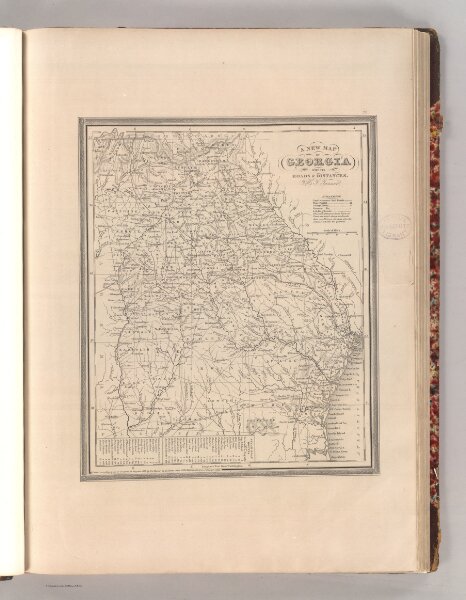
Georgia.
4578.021
pilot4
A New Map of Georgia with its Roads & Distances. By H. S. Tanner. Entered according to Act of Congress in the 1839 by H.S. Tanner - in the Clerk's Office of the Eastern District of Pennsylvania. 20.
1848
Tanner, Henry S.
S. Augustus Mitchell.
30 × 36 cm
1 : 1700000