David Rumsey
ArcGIS, QGIS or web apps can simply use this map with web map services. WMTS, TileJSON or XYZ tiles are provided for quick access to processed maps.
Sign in to get links.
Sign in to download GeoTIFF.
Overlay & compare
iiif viewer, iiif info json
Website
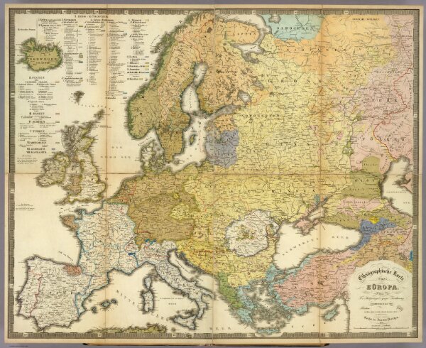
Ethnographische Karte von Europa.
2515.071
pilot4
Ethnographische Karte von Europa. Auf F.v. Stulpnagel's geogr. Feichnung Zusammengestellt von Potsdam Im Marz 1845; im Stich vollendet November 1846, von Madel II in Weimar. Gotha, bei Justus Perthes. 1847.
1847
1849
Berghaus, Heinrich
Justus Perthes
85 × 68 cm
1 : 6000000