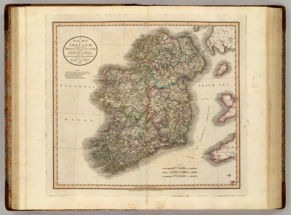
A new map of Ireland, divided into its provinces and counties; also the opposite coasts of Scotland and Wales; shewing the several ports from whence the packets depart for Ireland. From the latest authorities. By John Cary, engraver, 1799. London: Printed for J. Cary, Engraver & Map-seller, No. 181, Strand, Augst. 1, 1799.