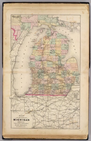
Map of the State of Michigan showing counties, townships, rail roads, ...
Identifier
1147.002
Collection
pilot4
Description
Map of the State of Michigan showing counties, townships, rail roads, stations, etc. (Drawn, compiled, and edited by H.F. Walling, C.E. ... Published by R.M. & S.T. Tackabury, Detroit, Mich. Entered ... 1873, by H.F. Walling ... Washington. The Claremont Manufacturing Company, Claremont, N.H., Book Manufacturers)