David Rumsey
ArcGIS, QGIS or web apps can simply use this map with web map services. WMTS, TileJSON or XYZ tiles are provided for quick access to processed maps.
Sign in to get links.
Sign in to download GeoTIFF.
Overlay & compare
iiif viewer, iiif info json
Website
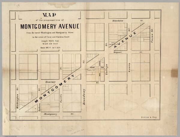
Map of the proposed line of Montgomery Avenue
4289.000
pilot
Map of the proposed line of Montgomery Avenue from the corner Washington and Montgomery Street to the corner of Union and Stockton Street. Length 2354 feet, Width 80 feet. Britton & Rey.
1872
Britton & Rey
57 × 41 cm
1 : 1200