David Rumsey
ArcGIS, QGIS or web apps can simply use this map with web map services. WMTS, TileJSON or XYZ tiles are provided for quick access to processed maps.
Sign in to get links.
Sign in to download GeoTIFF.
Overlay & compare
iiif viewer, iiif info json
Website
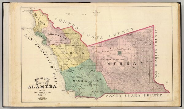
Alameda County map.
0999.004
pilot3
Map of the County of Alameda. Drawn by M.B. Haynes, C.E. Published by Thompson & West, Oakland, Cal. (1878)
1878
Thompson & West
66 × 42 cm
1 : 126720