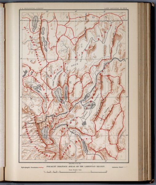
Plate XXIX: Present drainage areas of the Lahontan Region
Identifier
0866.031
Collection
pilot2
Description
Present drainage areas of the Lahontan Region. Julius Bien & Co. Lith. (to accompany) Geological history of Lake Lahontan : a quaternary lake of Northwestern Nevada. (series title) Department of Interior : Monographs of the United States Geological Survey, vol. XI. (on upper margin) U.S. Geological Survey; Lake Lahontan PL.XXIX.