David Rumsey
ArcGIS, QGIS or web apps can simply use this map with web map services. WMTS, TileJSON or XYZ tiles are provided for quick access to processed maps.
Sign in to get links.
Sign in to download GeoTIFF.
Overlay & compare
iiif viewer, iiif info json
Website
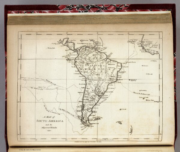
South America and the Adjacent Islands.
0632.023
pilot4
A Map of South America and the Adjacent Islands, 1794. Published Octr. 14, 1794, by I. Stockdale, Piccadilly.
1794
Morse, Jedidiah
John Stockdale
23 × 18 cm
1 : 3450000