David Rumsey
ArcGIS, QGIS or web apps can simply use this map with web map services. WMTS, TileJSON or XYZ tiles are provided for quick access to processed maps.
Sign in to get links.
Sign in to download GeoTIFF.
Overlay & compare
iiif viewer, iiif info json
Website
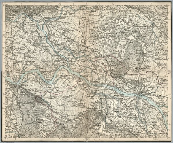
Composite: 327. Cleve.
5820.327c
series
(Composite of) Sheet 327. Cleve. Karte des Deutschen Reiches.
1899
1893
Reichsamt fur Landesaufnahme
39 × 30 cm
1 : 100000