David Rumsey
ArcGIS, QGIS or web apps can simply use this map with web map services. WMTS, TileJSON or XYZ tiles are provided for quick access to processed maps.
Sign in to get links.
Sign in to download GeoTIFF.
Overlay & compare
iiif viewer, iiif info json
Website
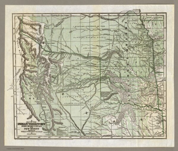
Indian Territory, Northern Texas and New Mexico.
2351.001
pilot4
A Map of the Indian Territory Northern Texas and New Mexico Showing the Great Western Prairies by Josiah Gregg. Entered ... 1844 by Sidney E. Morse and Samuel Breese ... New York.
1844
Gregg, Josiah, 1806-1850
Henry G. Langley
40 × 33 cm
1 : 3600000