David Rumsey
ArcGIS, QGIS or web apps can simply use this map with web map services. WMTS, TileJSON or XYZ tiles are provided for quick access to processed maps.
Sign in to get links.
Sign in to download GeoTIFF.
Overlay & compare
iiif viewer, iiif info json
Website
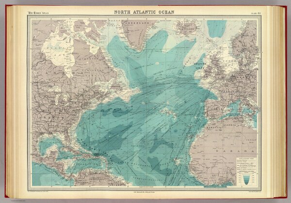
North Atlantic Ocean.
2113.093
pilot4
North Atlantic Ocean on Mercators projection. The Edinburgh Geographical Institute, John Bartholomew & Co. "The Times" atlas. (London: The Times, 1922)
1922
John Bartholomew & Co.
The Times
56 × 43 cm
1 : 25000000