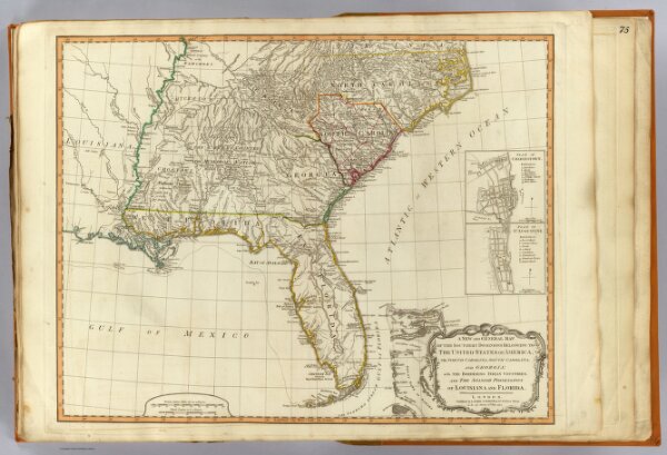
A new and general map of the southern dominions belonging to the United States of America, viz: North Carolina, South Carolina, and Georgia: with the bordering Indian countries, and the Spanish possessions of Louisiana and Florida. (with) Plan of Charlestown. (with) Plan of St. Augustine. London, Published by Laurie & Whittle, No. 53, Fleet Street, as the act directs 12th May, 1794.