David Rumsey
ArcGIS, QGIS or web apps can simply use this map with web map services. WMTS, TileJSON or XYZ tiles are provided for quick access to processed maps.
Sign in to get links.
Sign in to download GeoTIFF.
Overlay & compare
iiif viewer, iiif info json
Website
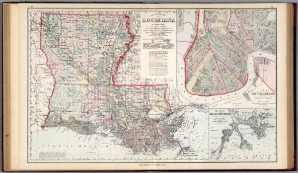
Louisiana.
0312.029
pilot
Gray's New Map of Louisiana by Frank A. Gray. Copyright 1878 by O.W. Gray & Son. (insets) City of New Orleans. The Passes of the Mississippi River.
1878
1884
Gray, Frank A.
Stedman & Brown
68 × 42 cm
1 : 1200000