David Rumsey
ArcGIS, QGIS or web apps can simply use this map with web map services. WMTS, TileJSON or XYZ tiles are provided for quick access to processed maps.
Sign in to get links.
Sign in to download GeoTIFF.
Overlay & compare
iiif viewer, iiif info json
Website
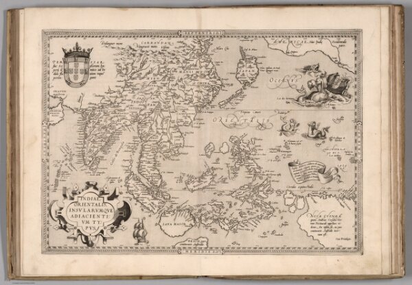
(48) Indiae Orientalis.
10000.105
missinglocation
Indiae Orientalis, Insularumque Adiacientium Typus. Cum Privilegio.
1570
Ortelius, Abraham, 1527-1598
Gielis Coppens van Diest
51 × 36 cm
1 : 22000000