David Rumsey
ArcGIS, QGIS or web apps can simply use this map with web map services. WMTS, TileJSON or XYZ tiles are provided for quick access to processed maps.
Sign in to get links.
Sign in to download GeoTIFF.
Overlay & compare
iiif viewer, iiif info json
Website
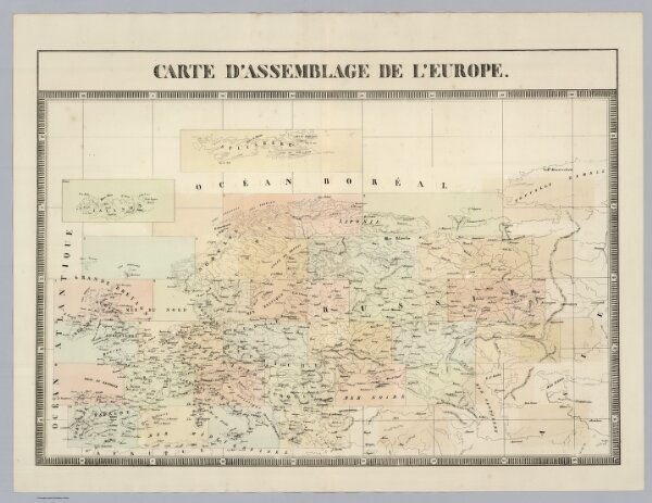
Carte d'assemblage de l'Europe.
2212.002
missinglocation
Carte d'assemblage de l'Europe. (Dresse par Ph. Vandermaelen, lithographie par H. Ode. Premier partie. - Europe. Bruxelles. 1827)
1827
Vandermaelen, Philippe, 1795-1869
Ph. Vandermaelen
65 × 47 cm
1 : 14200000