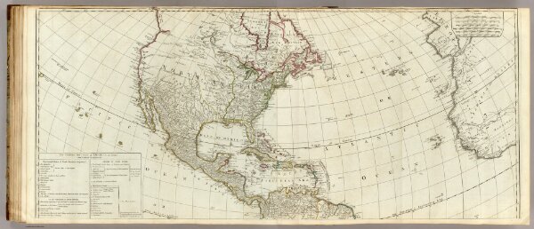
(A new map of the whole continent of America. northern section)
Identifier
0411.037
Collection
pilot2
Description
(A new map of the whole continent of America. Northern section. Divided into north and south and West Indies, wherein are exactly described the United States of North America as well as the several European possessions according to the Preliminaries of Peace signed at Versailles Jan. 20, 1783. Compiled from Mr. d'Anville's maps of that continent, with the addition of the Spanish discoveries in 1775 to the north of California & corrected in the several parts belonging to Great Britain from the original materials of Governor Pownall, MP. London, printed for Robt. Sayer, Map, Chart & Printseller, no. 53, Fleet Street, as the Act directs 15th August, 1786)