David Rumsey
ArcGIS, QGIS or web apps can simply use this map with web map services. WMTS, TileJSON or XYZ tiles are provided for quick access to processed maps.
Sign in to get links.
Sign in to download GeoTIFF.
Overlay & compare
iiif viewer, iiif info json
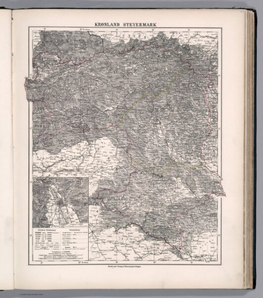
Kronland Steyermark
11639.037
missinglocation
Kronland Steyermark. Druck und Verlag v. C. Flemming in Glogau. (to accompany) Sohr-Berghaus Hand-Atlas uber alle Theile der Erde. Ausgefuhrt unter Leitung von F. Handtke ... 1875. (inset) Gratz.
1875
Handtke, Friedrich, 1815-1879
Carl Flemming
33 × 41 cm
1 : 600000