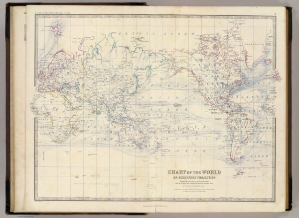
Chart of the world on Mercators projection. Showing the direction of the ocean currents, with the routes and distances between the principal ports. By Keith Johnston, F.R.S.E. Engraved & printed by W. & A.K. Johnston, Edinburgh. William Blackwood & Sons, Edinburgh & London, (1861)