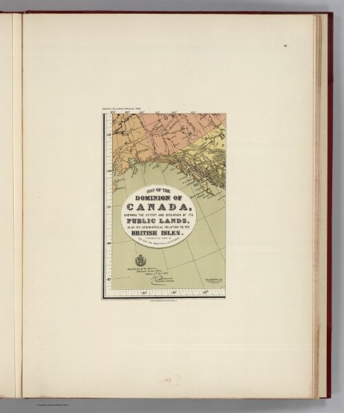
(Facsimile) Map of the Dominion of Canada (portion), shewing the extent and situation of its Public Lands, also its Geographical Relation to the British Isles. Published by order of the Hon: the Minister of the Interior. Department of Interior: Dominion Lands Office, Ottawa, 1st. Novr., 1878. Compiled & Drawn by J. Johnston, Chief Draftsman. Alaskan Boundary Tribunal, 1903. 39. Andrew B. Graham. Photo-Litho. Washington.D.C.