David Rumsey
ArcGIS, QGIS or web apps can simply use this map with web map services. WMTS, TileJSON or XYZ tiles are provided for quick access to processed maps.
Sign in to get links.
Sign in to download GeoTIFF.
Overlay & compare
iiif viewer, iiif info json
Website
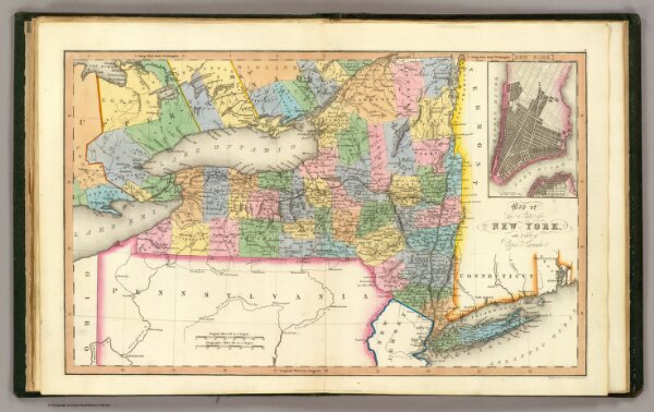
New York.
4966.006
pilot4
Map of the state of New York, with part of Upper Canada. (with) New York (City). London: Published April 1, 1831 by I.T. Hinton and Simpkin and Marshall. Engraved and printed by Fenner Sears & Co. (1832)
1831
1832
Simpkin & Marshall
Thomas Wardle
40 × 27 cm
1 : 2200000