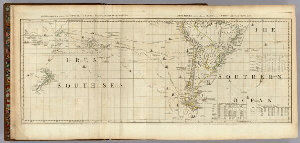
Chart containing the greater part of the South Sea to the South of the Line.
Identifier
0346.003
Collection
pilot2
Description
Chart containing the greater part of the South Sea to the South of the Line, with the Islands dispersed thro' the same. South America with the adjacent Islands in the Southern Ocean and South Sea. Published ... 10 June 1775, by R. Sayer & J. Bennett ... Fleet Street. VI.