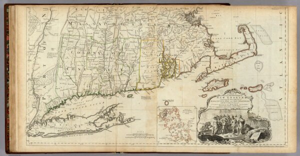
The Provinces of Massachusetts Bay and New Hampshire. (Southern section)
Identifier
0346.018
Collection
pilot2
Description
A Map of the most Inhabited part of New England, containing the Provinces of Massachusetts Bay and New Hampshire, with the Colonies of Conecticut And Rhode Island, Divided into Counties and Townships: The Whole composed from Actual Surveys and its Situation adjusted by Astronomical Observations. (with) A Plan of Boston Harbor from an Accurate Survey. November 29th 1774. Published according to Act by Thos. Jefferys Geographer to His Royal highness the Prince of Wales near Charing Cross. (Southern section)