David Rumsey
ArcGIS, QGIS or web apps can simply use this map with web map services. WMTS, TileJSON or XYZ tiles are provided for quick access to processed maps.
Sign in to get links.
Sign in to download GeoTIFF.
Overlay & compare
iiif viewer, iiif info json
Website
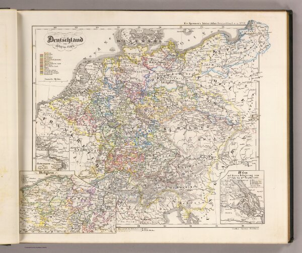
Deutschland von 1649 bis 1792.
2600.010
pilot4
Deutschland von 1649 bis 1792. (with) Antwerpen und seine Forts. (with) Belgien. (with) Wien und dessen Belagerung vom 14ten. July bis 9ten. Septbr. 1683. K.v. Spruner's histor. Atlas: Deutschland u.a. No. X. Gotha: Justhus Perthes. Rev. 1860.
1860
1854
Spruner von Merz, Karl
Justus Perthes
40 × 34 cm
1 : 3800000