David Rumsey
ArcGIS, QGIS or web apps can simply use this map with web map services. WMTS, TileJSON or XYZ tiles are provided for quick access to processed maps.
Sign in to get links.
Sign in to download GeoTIFF.
Overlay & compare
iiif viewer, iiif info json
Website
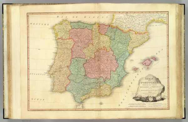
Spain, Portugal.
2104.019
pilot4
Spain and Portugal; divided into their respective kingdoms and provinces, from the Spanish and Portuguese provincial maps. London, published by W. Faden, Geographer to His Majesty and to H.R.H. the Prince of Wales, June 4th. 1796.
1796
1811
Faden, William, 1750?-1836
William Faden
73 × 51 cm
1 : 2050000