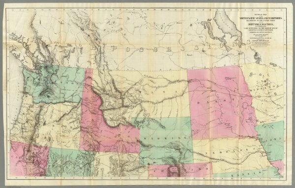
General Map of the North Pacific States and Territories.
Identifier
0652.001
Collection
pilot4
Description
General Map of the North Pacific States and Territories Belonging to the United States and of British Columbia, Extending from Lake Superior to the Pacific Ocean and Between Latitude 39 degrees and 53 degrees North. Exhibiting Mail Routes, Gold Mines, and Including the Most Recent Surveys of the Topographical Bureau. Prepared by Captain John Mullan. ... Drawn by Edward Freyhold, T.E. Lithographed by J. Bien, 24 Vesey, St. N.Y.