David Rumsey
ArcGIS, QGIS or web apps can simply use this map with web map services. WMTS, TileJSON or XYZ tiles are provided for quick access to processed maps.
Sign in to get links.
Sign in to download GeoTIFF.
Overlay & compare
iiif viewer, iiif info json
Website
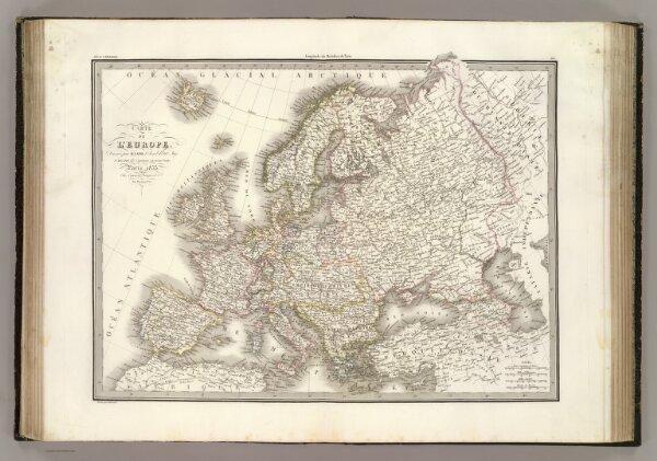
L'Europe.
2174.020
pilot4
Carte de l'Europe. Dressee par M. Lapie, Colonel d'Etat Maj. et M. Lapie fils, Capitaine au meme corps. Paris, 1833. Chez Eymery Fruger et Cie., Rue Mazarine No. 30. Gravee par Lallemand.
1833
Lapie, M. (Pierre), 1779-1850
Eymery Fruger et Cie
53 × 41 cm
1 : 11300000