David Rumsey
ArcGIS, QGIS or web apps can simply use this map with web map services. WMTS, TileJSON or XYZ tiles are provided for quick access to processed maps.
Sign in to get links.
Sign in to download GeoTIFF.
Overlay & compare
iiif viewer, iiif info json
Website
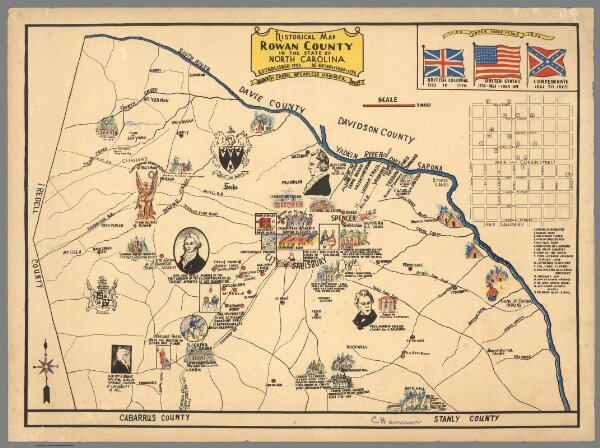
Historical Map, Rowan County in the State of North Carolina.
8900.000
missinglocation
Historical Map, Rowan County in the State of North Carolina, Established 1753 - Re-established 1756. Drawn by Carrie McCanless Hammer, 1932.
1932
Hammer, Carrie McCanless
Carrie McCanless Hammer
41 × 30 cm
1 : 130500